fbpx

Q&A: An Eagle-Eye View of the Red Desert

In Wyoming’s Red Desert, the necessity of truly big-picture, holistic thinking around conservation advocacy is on full display. For one, it’s home to big game herds that require intact habitat throughout the length of migration corridors that span hundreds of miles. For another, it’s a place that has been stewarded by people for millennia, whose descendents are still here — and whose voices are critical for any conversations about how this land should be managed.

While obstacles to this kind of big-picture thinking are many, the sheer scale of the landscape presents a unique challenge: At more than a half-million acres, how do you wrap your mind around an area the size of the Red Desert?

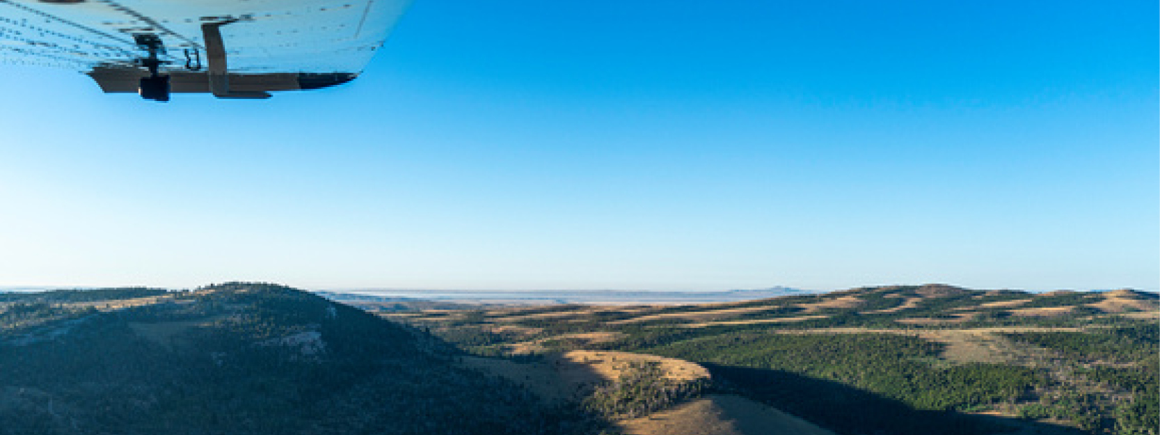
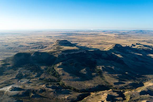
Recently, Tribal Engagement Coordinator Big Wind Carpenter worked with EcoFlight, a Colorado-based organization, to share a bigger-picture perspective of the desert … from high above, in a small 6-seater propeller plane!

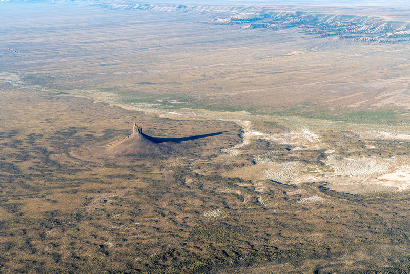
During the flights, Big Wind narrated a loop over the Red Desert for Eastern Shoshone and Northern Arapaho elders, pointing out many of the cultural resources that hold special significance for more than a dozen Tribes with connections to the land. We sat down with Big Wind to hear about their work with EcoFlight and to learn what insights might be gained from taking to the skies.

[Interview edited for length and clarity.]

Images: EcoFlight

You’ve been sharing the values of the Red Desert with others for years now, but primarily with vehicle tours. How does EcoFlight fit into the work you’ve been doing there?

You could spend your entire life exploring the Red Desert — it’s that big of a landscape. When we leave Lander on a vehicle tour, whether we’re taking elected officials, Tribal people, WOC members, or donors, we know that it’s going to be an all-day trip, because a lot of these areas have long distances between them.

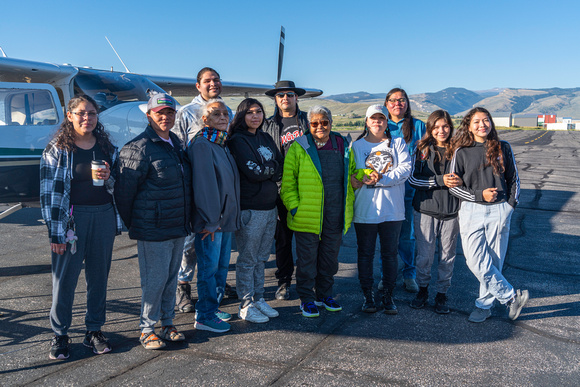
For people who don’t have that time or that mobility, I think it’s important that we try to work out a different tour for them. The intention for this year’s flight was to get some Tribal elders out there. We were able to get Reba Teran, an Eastern Shoshone elder and language teacher, and Mary Headley, a Northern Arapaho elder who teaches at the Arapaho Immersion School, to join us. And then they also brought their helpers with them because they have mobility issues. We’re trying to make sure that people who have mobility issues are still able to see these places, and have these discussions.

Tell us a little about your flight path — which parts of the Red Desert did you get to see?

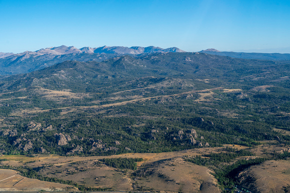
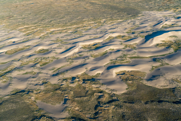
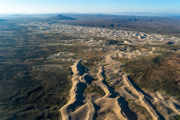
We did two flights that morning, and we kind of did a loop of everything north of I-80. We left the Lander airport early that morning, flew over Red Canyon, flew to where the Great Divide Basin starts over by the Oregon Buttes and the Honeycomb Buttes. Then we moved down to the Killpecker Sand Dunes and Boar’s Tusk. From there, we flew over the White Mountain petroglyphs, checked out Steamboat Mountain, and came back up through the Wind River Range.

For someone like you, who has spent so much time out in the Red Desert, what’s it like to see it from the air?

I think the Red Desert is such a special place, because it has all of these different microhabitats within the area that it covers. You have the south side of the Winds, and the sand dunes, and areas of sagebrush. The plains, the desert, and the mountains meet in this area, but you don’t understand completely until you’re thousands of feet above it. I think the EcoFlight is a very powerful tool to be able to visualize how interconnected these habitats are to one another. It’s such a beautiful thing.

Could you share some of the highlights of the flight?

Being able to see the sand dunes moving in real time was a highlight. The Killpecker Sand Dunes are the largest living sand dune field in North America. When you’re on the ground, there’s always a steady wind, and you can kind of see the sand moving. But when you have a bird’s eye, you can actually see where they’re traveling across the landscape.

Also, there were also some pretty good migrations of antelope coming down off the mountains. Especially knowing how diminished those populations are after last winter, it was amazing to see just how resilient these animals are to be migrating across the land.

What was it like to share an aerial view of the Red Desert with the elders who joined you? And with other, younger Tribal members?

For both Reba and Mary, especially as culture and language teachers, I think it was important for them to be able to tell us the names of these places, and what those names meant, and why they were named a certain way. As an Arapaho person myself, being in a situation where Mary was educating other Arapahos who didn’t know those areas was really impactful. I have Shoshone family (although I’m not a Shoshone Tribal member), so being out there with Reba and hearing their stories, hearing their names, and why they’re named those things felt very impactful to me, too.

Over a dozen Tribes have relations with that landscape: The Shoshone, the Crow, the Cheyenne, and many others have stories about that land and their connection to that landscape. Some of those Tribes, their stories go back thousands of years. So I think it’s really important that not only are those stories told, but that those stories are shared with the next generation. Not only did we have the elders, but we had young people on both of those flights who were able to hear from the elders, and I think that made this very significant.

I think that’s interesting, because you’re in a role where you’re the tour guide. But you’re also learning from your elders, too.

Yeah. I think that’s a part of our culture, as Indigenous people. We look to our elders for guidance, we look to our elders to be able to tell stories. There’s places like the Birthing Rock, and the White Mountain petroglyphs, and all these other sacred sites that are found in the Red Desert. If we don’t relay this information, it will be lost. So it’s important to ensure that our elders are able to have the space to pass on these stories to young people.

Story Behind the Photo: Barbara McMahill

Join Barbara and other photographers by submitting your own shot of Wyoming for the Outdoor Council’s 2024 Calendar Contest. You can enter your photos via Instagram or email. To submit your photo(s) via Instagram, you must have a public Instagram account so that we’re able to view your submission. Upload your photo(s) and add the hashtag #OurWyoming.

To submit your photo(s) via email, send your photo(s) to claire@wyomingoutdoorcouncil.org.

For more information about the contest, visit our calendar contest page.


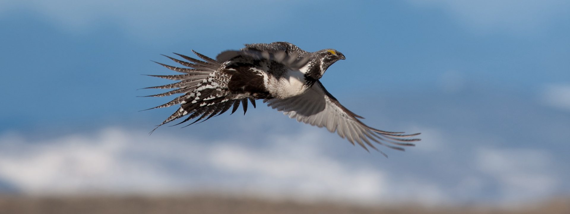
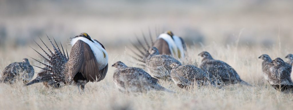
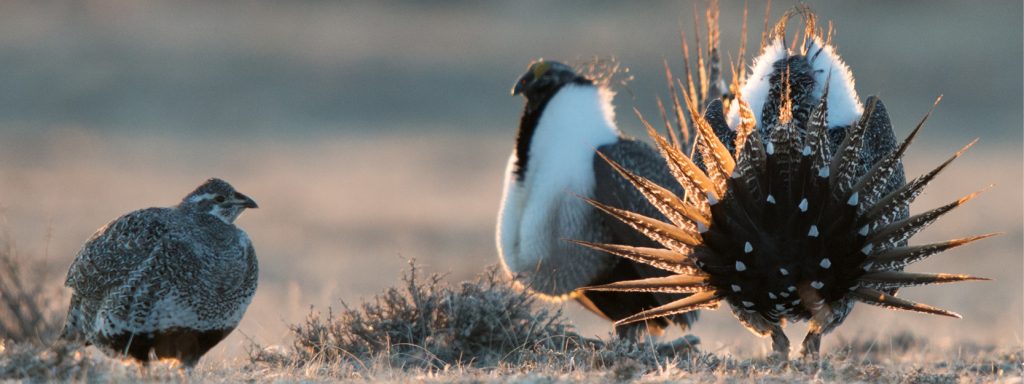
Barbara McMahill saw a photograph of a Greater sage-grouse on a magazine cover a few years ago and was instantly enamored. When she mentioned the bird to a local Lander friend, she was told that it was actually possible to visit the bird’s breeding grounds, called leks, to watch them in the early spring. It wasn’t long before McMahill found herself at the edge of the Twin Creek lek, about 20 miles from Lander, watching the spectacle herself. She now goes out with her camera every year.

“It’s always special,” she says of viewing the sage-grouse, “because you need to wake up suuuuper early to see it. But they really do put on an amazing show. It’s just beautiful to watch. In the end, you do have to sit for quite awhile and it’s usually cold, but when the sun starts to come up over the horizon, there are five to seven minutes of just incredible light. I cannot even describe it.”

That’s why McMahill takes her camera — so she can attempt to capture a moment that is indescribable in words so that others can experience it, too.

“I’m no professional photographer,” she laughs. “I’m a veterinarian. But photography has always been present in my life. I was given my first camera as a present from my family when I was in fourth grade and I started to take photography a little more seriously about 20 years ago. Now, I just have fun trying to capture the beauty of each scene and sharing those with others. Sometimes, like that sage-grouse image, the moment just isn’t describable.”

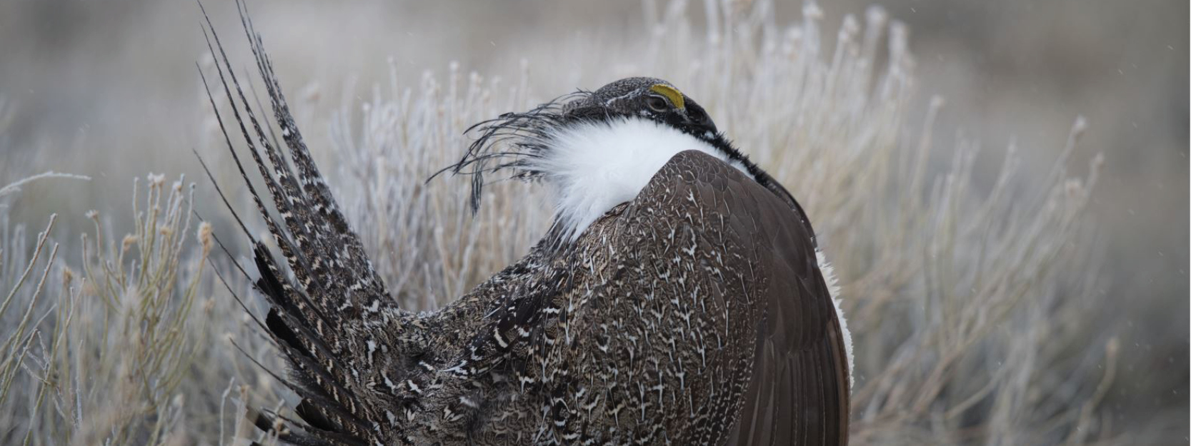
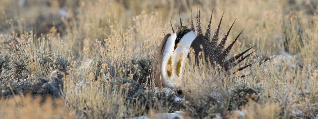
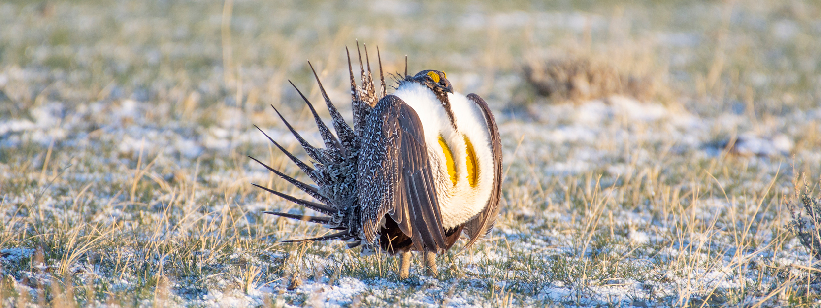
The image she took that won placement in the 2022 calendar is a male sage-grouse in the snow-dusted grass. His speckled brown and gray wing feathers frame a white, fluffy chest concealing two vibrantly yellow air sacs. “The sun was hitting him just right,” McMahill says of the moment she pushed the shutter. What’s even more amazing about this display that the camera can’t capture, she explains, are the sound effects. During the sage-grouse’s mating dance, there are vigorous wing swishes and a series of clipped, soft coos before two pops as their air sacs expand. It’s truly a sight to be seen — and a sound to be heard.

McMahill wasn’t always so interested in birds. She grew up in Lisbon, Portugal, a city where “birds for me were either pigeons or sparrows,” she says. When she moved to Lander with her husband 10 years ago, she started to notice the diversity of birds in the region compared to her hometown. When COVID-19 sent many of us inside, and our attention was drawn longingly out our windows, McMahill became curious about birds and invested in a telephoto lens to better capture the feathered creatures that visited her backyard. She’s since found some bird-watching friends in Lander and has learned a lot from them as well as the Merlin app, a global bird guide for mobile devices. In addition to sage-grouse, she adores the springtime vocals of the meadowlarks and the return of the mountain bluebirds to the barren but budding tree branches each year. (She submitted a photo of a bluebird too, which we also selected for the calendar.)

McMahill never planned to live in Wyoming, but she’s glad she does. Not only is the local community a constant source of joy, fun, and support, but, “I’m surrounded by beauty.” She spoke of a recent trip to the Red Desert for the first time with her family. “It looks like a place that has been home to not only a lot of different groups of people, but also a diversity of animals for years and years. I realize that keeping these places as they are is very important. It’s part of the reason I — we all — want to live here.”

It [The Red Desert] looks like a place that has been home to not only a lot of different groups of people, but also a diversity of animals for years and years. I realize that keeping these places as they are is very important. It’s part of the reason I — we all — want to live here.

— barbara mcmahill

In fact, the Greater sage-grouse relies on landscapes like the Red Desert — large, intact, fenceless areas of sagebrush steppe — for its survival. And it’s not only sage-grouse, but thousands of other species as well. In recent years, this habitat has been dwindling across the West, and as a result, so too have sage-grouse populations that can survive nowhere else. The Red Desert is of particular importance to sage-grouse conservation efforts as it hosts the highest density of sage-grouse on Earth. In peak years you can find more than 100 males visiting leks in this region, whereas other leks average only 20-35.

Local efforts to protect Wyoming’s sagebrush steppe and the sage-grouse who rely upon it are ongoing— we’ve often discussed the importance of the Greater Sage-Grouse Core Area Protection Executive Order signed in 2008 by then Gov. Dave Freudenthal and renewed by his two successors. In addition to this state strategy, there’s a new opportunity on the horizon for further protections for sage-grouse: the recently released draft Rock Springs Resource Management Plan from the Bureau of Land Management. It’s a land use plan that’s been 12 years in the making, and in one alternative, the agency would rebalance management priorities to better support conservation in addition to other uses. This alternative would close much of the Red Desert — which includes significant portions of sagebrush steppe — to industrial development. This is in stark contrast to current management where a majority is open to development and poses a threat to sage-grouse habitat.

We’ll keep you updated on the ways in which you can make a difference in protecting this habitat and all the species, including the Greater sage-grouse, who rely on it for their survival.

And we’re grateful for photographers like McMahill who wake up before dawn and brave the cold to capture this one-of-a-kind spectacle every spring. It’s images like these that allow us at the Wyoming Outdoor Council to better tell the story of the iconic Wyoming species who share their home with us. If you’ve taken your own wildlife shots, send them to us! Our calendar contest is open until September 15 — and this year there are prizes and a chance to have your work in an exhibit. You can read more here.

Upcoming public meetings on chronic wasting disease in southeast Wyoming

Upcoming public meetings on chronic wasting disease in southeast Wyoming

Since the first chronic wasting disease cases were identified in Wyoming in the mid-1980s, herds in the southeast portion of the state have borne the brunt of this always-fatal disease. The Laramie Mountains mule deer herd, which covers hunt areas 59, 60, and 64, has one of the highest rates of CWD in Wyoming. In recent years, sampling conducted by the Wyoming Game and Fish Department has found CWD in around 26 percent of hunter-harvested bucks.

In the coming weeks, state wildlife managers will be holding a series of local public meetings to discuss CWD impacts and management strategies for the Laramie Mountains herd. If you have a connection to deer in this part of the state — as a hunter, landowner, or wildlife lover — we strongly encourage you to come out and learn about what Game and Fish is doing to address herd health and the long-term outlook of our big game populations.

June 14, Wheatland, First State Bank Conference Center
June 15, Laramie, WGFD regional office
June 16, Cheyenne, WGFD state office
June 28, Sybille Canyon, Tom Thorne/Beth Williams Wildlife Research Center
June 29, Glendo, Town Hall

All meetings start at 6 pm. There is also an option to join the June 16 meeting via Zoom by registering at this link.

The Outdoor Council is a strong supporter of the Game and Fish Department’s CWD management plan, which was the result of a collaborative process that drew from the best available science on this challenging issue. Public input is key to developing and implementing management strategies that benefit wildlife while also meeting the needs of local communities: If you’re able, please take this opportunity to learn more about the science of CWD, ask questions, and share your thoughts.

If you can’t attend a meeting, you can email martin.hicks@wyo.gov with questions or comments. And if you have questions, would like some more resources or reading material, or are looking for ways to get involved, please reach out to kristen@wyomingoutdoorcouncil.org.

A dream for the Red Desert

It’s the heart of winter in Wyoming and, for many of us, it’s a favorite time of year. The days are short and the nights are cold, but the snow brings a quiet, peaceful stillness and lends a special beauty to everyday life. For some, that means skiing, snowmobiling or ice fishing. For others, hunkering down with a hot drink and good book or movie is the best way to enjoy the season. 

The midwinter weeks are also a time to take stock of the past year and plan for the one ahead. These days, a lot of us at the Wyoming Outdoor Council have been daydreaming about the Red Desert. 

The Red Desert is commonly described as the largest unfenced area in the Lower 48. While its size and remote nature are impressive in themselves, this doesn’t paint the full picture. The desert is truly unique, with sweeping views, thriving wildlife, and mind-bending geological features. The ruts of the Oregon, California, and Mormon trails crisscross land that has been used by Indigenous peoples since time immemorial. The few nondescript county roads meander to the horizon.

Even in Wyoming, it can be hard to believe a place this rugged still exists. But there is life here. Wildlife abounds, including elk, mule deer, and Greater sage-grouse. Ranchers run cattle, and many hunters, hikers, mountain bikers, and off-road enthusiasts consider the desert their best-kept secret. From the sand dunes, buttes, and badlands to the aspen oases and expanses of sagebrush, the Red Desert is as diverse as the people who care for it. 

For generations the Red Desert has sustained a way of life that is undeniably Western and provided opportunities for work, play, and quiet contemplation to anyone who seeks it. There is a balance that works, and we as Wyomingites have the power to uphold it. That’s why the Outdoor Council has spent years working to keep the desert the way it is — a working landscape rich with wildlife, history, and open space. 

In 2020, we joined together with like-minded people from all walks of life in Citizens for the Red Desert, a coalition of Wyoming citizens and organizations who love the desert. We also hired a new staff member, Shaleas Harrison, to coordinate the effort. The people in this group all have different reasons for taking part, but they recognize that there is a common ground when seeking to preserve all the diverse values and uses of the desert. 

While Citizens for the Red Desert is relatively new, the passion for the Red Desert is anything but. Wyoming residents first proposed that a portion of the desert be permanently protected as a winter game preserve in 1898, and in the century that followed, a host of other conservation efforts were considered. 

These public lands have seen relatively little new development in recent years. A patchwork of agency-level protections helps sustain the Red Desert elk herd, the White Mountain Petroglyphs, the sand dunes, and other values. But it is a tenuous balance that could easily unravel. Increasingly, dramatic shifts in federal land management priorities add an additional layer of uncertainty about the future. 

As Wyomingites, the Red Desert helps tell our story. Now, we want to tell the story of the desert. 

In the coming year the Outdoor Council will be working with citizen and tribal partners to chart the course to permanent protection of this special place — based on the existing framework that respects the full range of opportunities this land provides. For more than 130 years, Wyomingites have shown their support. An enduring, Wyoming-grown solution can make that dream a reality and keep the special values of the Red Desert intact for generations to come. 

What’s next for Wyoming’s big game?

This winter, Gov. Mark Gordon signed an executive order detailing how mule deer and pronghorn migration corridors will be identified and managed in the state. The Wyoming Outdoor Council was heavily involved in the advocacy, collaboration, and negotiations that led to this order, and we were pleased the governor took this important step. But what does this new policy mean? It means now the real work begins.

The governor’s order affirmed the designation of three corridors that had gone through the Game and Fish Department’s analysis and public process: the Sublette mule deer corridor (also known as the Red Desert to Hoback) and the Baggs and Platte Valley mule deer corridors. While the Sublette corridor has already gone through a risk assessment to evaluate landscape-level challenges affecting this herd and habitat, neither the Baggs nor the Platte Valley have. 

We anticipate new information on these assessments in the near future, and have communicated with Game and Fish staff about our suggestions for best conducting these analyses. When these assessments are completed, they will be released as drafts for public feedback and discussed in public meetings before being finalized. After designation, the executive order prescribes the formation of local working groups for each corridor to discuss ongoing management challenges and opportunities.

When the executive order was signed, two corridors were in draft status (i.e. not yet formally designated): the Sublette antelope corridor (the Path of the Pronghorn) and the Wyoming Range mule deer corridor. These corridors will be the first to move through the entirety of the new designation process. We anticipate seeing the Path of the Pronghorn discussed at a Game and Fish Commission meeting later this year, and will continue to advocate for designation. 

The Game and Fish Department will also continue to identify other migration corridors around the state. Though the governor’s order only applies to mule deer and pronghorn, the department will continue its work to identify and manage elk migration corridors. We will continue to advocate for a formal corridor designation process for other ungulate species. Stay tuned for new developments.  

While the governor’s order puts the weight of law behind the value of wildlife migration corridors, the future of our big game herds depends on us. Advocacy from Wyoming people about the value of our large, migratory herds was critical in getting us to this point, and will continue to be necessary in the long term.

Please watch for updates about the next opportunities to be involved in corridor advocacy, and reach out to us if you have interest in any of the specific migration corridors currently being studied.  

Governor tours the Red Desert with citizens group and Outdoor Council staff

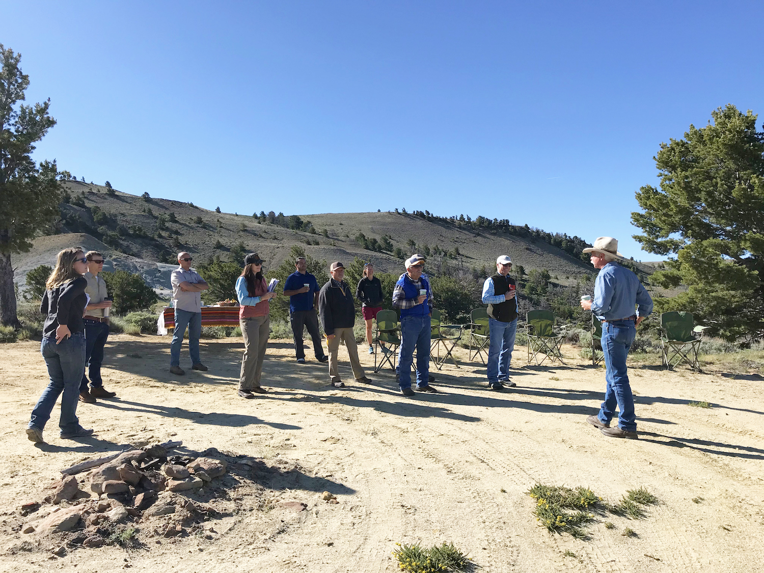
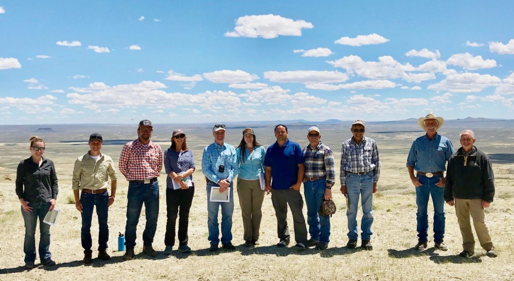
Gov. Mark Gordon spent Thursday, June 11, visiting Wyoming’s iconic Northern Red Desert for a firsthand look at one of the state’s wildest landscapes. The tour was organized by the Wyoming Outdoor Council and our partners to familiarize the governor and his staff with some of the most beautiful and treasured corners of the desert as well as introduce him to citizens representing a variety of interests who value, work in and recreate on this important landscape. Many representatives of Citizens for the Red Desert, a grassroots group, also participated in the trip.

The Northern Red Desert contains nationally-significant cultural and ecological resources, including the greatest concentration of Bureau of Land Management wilderness study areas in Wyoming, crucial winter range and migration corridors for mule deer, pronghorn, and a rare desert elk herd, North America’s largest living sand dunes, historic trails including the Oregon and Pony Express National Historic Trails, and indigenous cultural sites including petroglyphs, buffalo jumps, and other respected places. It is a vast landscape that offers a range of potential for outdoor recreation and hunting, supports ranching, and is considered the largest unfenced area in the Lower 48.

The tour was designed to provide the governor an overview of these special values. Along the way, the governor visited sites such as Whitehorse Creek and the dramatic Honeycomb Buttes wilderness study areas; visited with local rancher Jim Hellyer and his family; heard about the Oregon Trail and westward expansion from Todd Guenther, a Central Wyoming College professor and historian; and met with Rick Lee, director of the Rock Springs Chamber of Commerce and Bobbi Wade, a local outfitter, to discuss outdoor recreational opportunities. Jason Baldes, an Eastern Shoshone tribal member and the tribal buffalo coordinator for the National Wildlife Federation accompanied the trip to highlight the history of indigenous use and current tribal values within this landscape. John Mionczynski, an ethnobotanist and expert on the desert provided additional background on the ecology, geology and history.

Bobbi Wade, a local outfitter, discusses outdoor recreation at Chicken Springs.

The wildlife values of this landscape were in constant view, and the connection of this Red Desert habitat to what’s known as the “Golden Triangle” to the north along the Wind River Front — so named for its wealth of big game and sage-grouse populations — was highlighted by wildlife experts on the trip. Lauren Heerschap, with WyoClimbers and a Wyoming Outdoor Council board member, also shared information about the value of this landscape as the recreational scenic gateway for national and international climbers accessing renowned climbs in the Wind River Range.

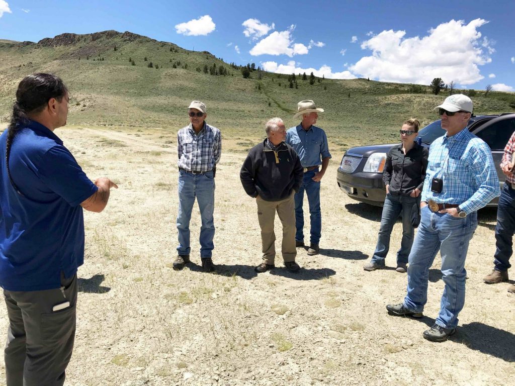
Jason Baldes, an Eastern Shoshone tribal member and the tribal buffalo coordinator for the National Wildlife Federation, discusses the historical significance of the Red Desert to indigenous and current tribal members.

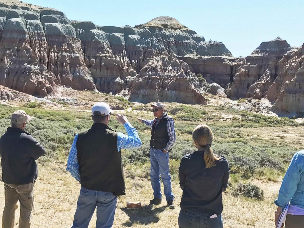
John Mionczynski discusses the Red Desert’s fascinating geological history in front of the Honeycomb Buttes.

The Outdoor Council is tremendously grateful for the governor’s time to take this trip, and we and others benefited from the questions and perspectives he and his natural resource and energy staff shared with us. Gov. Gordon engaged in thoughtful conversations throughout the tour, and was obviously seeking to understand this diverse landscape and the perspectives presented. 

The Red Desert is largely comprised of public lands managed by the BLM. This agency revises its management directives about every 20 years through a public planning process resulting in a resource management plan. The Red Desert’s fate is currently under debate due to the ongoing revision of the BLM’s Rock Springs Resource Management Plan, which will determine how 3.6 million acres of public lands, including the Red Desert, will be managed over the coming decades. Recent plan revisions from elsewhere across the West have stripped designations that protect wildlife habitat, cultural sites, and more.

It is our hope that through the direct experience of this landscape, and his conversations with people who cherish it, Gov. Gordon will see that the Northern Red Desert is a national treasure worth protecting — a place beloved by a diversity of Wyomingites for its many values and uses and deserving of a BLM management plan that will ensure its special values remain for future generations.

Gov. Mark Gordon stands with members of the tour while visiting the Northern Red Desert on June 11.

We’re on the move to support our migratory mule deer

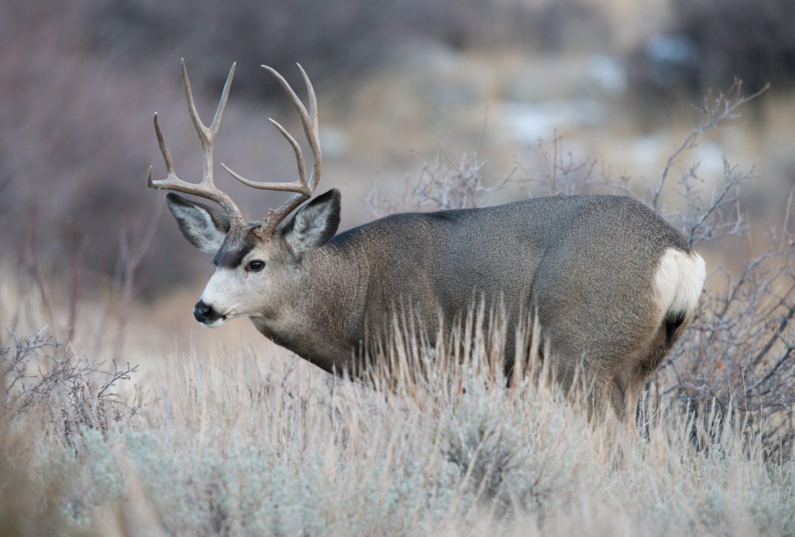
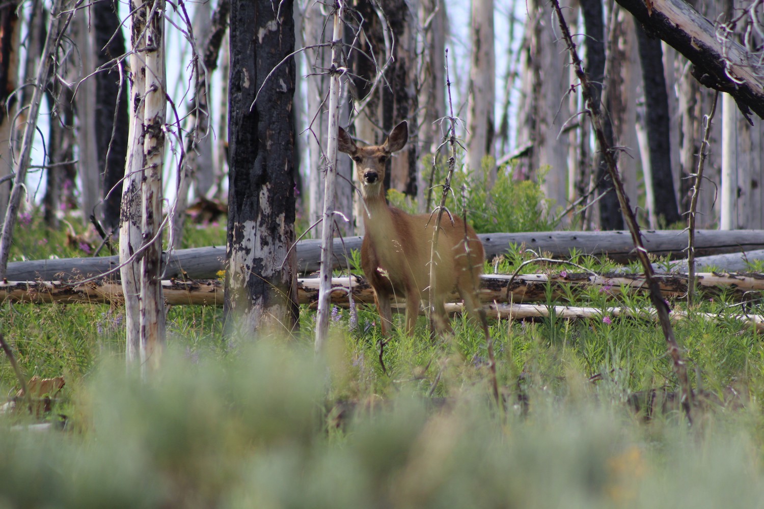
Migration is hard work for Wyoming’s mule deer, especially for the thousands that move 150 miles each way between their winter range in the Red Desert and their summer range in the slopes of the Hoback. Muleys have to contend with weather, disease, predators, fencelines, and human traffic across an increasingly fragmented landscape. One thing they don’t need more of? Challenges that pose a life-or-death threat by closing off or destroying critical habitat — especially when mule deer populations statewide have declined by more than 30 percent in recent decades.

That’s why the staff of the Wyoming Outdoor Council has been on the move this spring and summer, too, working to support these selective critters by advocating good wildlife policy that defends their future. 

SURFING THE GREEN WAVE INTO SUMMER

During late spring and early summer, we joined friends in Lander, Rock Springs, Laramie, and Casper to “Surf the Green Wave” into summer. We were thrilled to see so many of you at these events! Together, we explored the latest science, chatted policy and land management challenges faced by our deer, and talked about how you can take action to support Wyoming’s muley herds (which you did!). We also replicated a mule deer migration by “pub crawling” to various “stopovers” — those places along migration routes harboring the highest quality green “groceries” — and celebrated with our version of high-quality summer forage: a special beer brewed by our friends at Square State Brewing in Rock Springs! 

Thanks to the many, many volunteers, hosts, donors, and members who made these events possible, including Pedal House in Laramie and Backwards Distilling in Casper.

ADVOCACY UPDATE: GOV. GORDON’S MIGRATION ADVISORY GROUP

Your commitment to learn about and take action for mule deer has been essential as we’ve engaged with Gov. Gordon’s Wildlife Migration Advisory Group, which began meeting at the end of June. This eight-person citizen group, comprised of Wyomingites from a range of backgrounds, has been hard at work this summer. The group is considering scientific, conservation, policy, and economic data as it crafts a recommendation for the governor about how Wyoming should manage migration corridors. 

The Outdoor Council had the opportunity to present to the group on July 8 on behalf of the conservation community, and we worked diligently to represent the hopes and concerns you’ve shared with us about the state’s mule deer. I was honored to be able to talk about our conservation priorities for migration corridors and our recommendations for protecting migrating big game — especially mule deer. The committee’s conversations afterward were thoughtful, and I came away encouraged about the prospect of a strong, Wyoming-based solution for our migratory big game.

TAKING ACTION TO SUPPORT OUR MULE DEER

The committee’s final meeting will be held in Pinedale on August 12 and 13. If you are able to attend, we would love to see you there. Watch your inbox for information about the meeting and how to participate. 

Also, the state offered several oil and gas leases in migration corridors this month — including some in critical stopover habitat. We’d like to ask that these leases be canceled until stronger rules — already in development through the Governor’s task force — are in place to make sure that mule deer corridors aren’t harmed. Join us in asking the State Board of Land Commissioners (a group which includes Gov. Gordon) not to approve the sale of seven leases in corridor and stopover habitat.

FINALLY: Do you want to get your hands dirty and help support the world’s longest mule deer migration?

The Wyoming Game and Fish Department and the Rock Springs Bureau of Land Management are organizing a habitat improvement project on Saturday, August 10. Volunteers are needed to help replace fence. It’s a big job with some heavy lifting involved, and will help migrating mule deer access a key stopover in the Red Desert to Hoback corridor. If you’re interested in joining WOC staff to volunteer, please email me: kristen@wyomingoutdoorcouncil.org. We’ll provide a WOC t-shirt or hat to anyone who volunteers, and will help arrange carpools to Farson! More details about the volunteer day can be found at this link

Thank you for being a passionate advocate for Wyoming’s mule deer and other big game! Your voice is making a difference as we strive to negotiate a permanent conservation solution for our iconic migratory herds.

Wyoming must do more to protect mule deer migrations

Wyoming has been in the world spotlight since the discovery of the longest known mule deer migration, which runs 150 miles between the northern Red Desert and the Upper Hoback. That such an ancient migration still exists — despite roads, fences, housing, energy development, and other human activities — is amazing.

And new science is conclusive on two points: mule deer avoid development, and once a route is impeded, the deer don’t adapt. Unfortunately, under the new energy dominance policy, the BLM is offering oil and gas leases inside this corridor and other crucial wildlife habitat. And unless they hear from state wildlife managers, they’ll continue to do so.

The existence of the longest known mule deer migration is something Wyoming can no longer leave to chance. If we allow oil and gas activity here, the loss of this unique pathway will be on us.

Wyoming Game & Fish Department must step up

Wyoming’s wildlife is a tremendous part of our outdoor culture and a driver of our statewide economy. Big game hunting alone brings in about $300 million annually. According to a recent poll from Public Opinion Strategies, an overwhelming majority of all Wyoming voters — 89 percent — agree with Gov. Mark Gordon that protecting wildlife corridors does not have to be at odds with Wyoming’s energy industry.

Even former Interior Sec. Ryan Zinke understood the importance and popularity of protecting big game herds for westerners. Last year, he signed an executive order “to enhance and improve the quality of big-game winter range and migration corridor habitat on Federal lands.”

Yet the BLM continues to sell leases inside these habitats.

The thing is, states have the power to push back. When western states have asked the feds to pull oil and gas leases that have been offered in vital big game habitat, we’ve seen the BLM respond. Last year, the agency pulled more than a quarter of a million acres in Colorado from oil and gas lease sales at the request of state leaders.

And on the few occasions when the WGFD has asked the BLM to defer leasing parcels that fall entirely within a designated migration corridor — a very small percentage of the total number of oil and gas leases being offered in corridors — the BLM has granted its request.

This should be good news. But a state has to believe that the science matters, and then it must have the will to speak up. Unfortunately, that’s not what we’re seeing in Wyoming. Right now, the WGFD is operating under the flawed premise that if only a portion of a particular lease parcel falls within a wildlife migration corridor, there’s no threat to our wildlife. But that isn’t the case.

The WGFD has developed a “strategy” that endorses leasing inside migration corridors so long as at least 10 percent of a parcel falls outside the corridor. The rationale — which the WGFD admits is not rooted in science — is based on the hope that energy operators will “do the right thing,” and locate infrastructure in the portion of the lease parcel that’s outside the designated migration corridor. Unfortunately, operators are not legally bound to do so.

Crossing our fingers that private energy companies will do what’s best for our wildlife is no way to manage one of Wyoming’s most important resources. But unless the WGFD finds the will to ask the BLM to pull these leases, blind hope is all we’ve got for now, because there’s no legal way to ensure that energy operators will limit development to outside corridor boundaries.
Even more troubling, when pressed, both the WGFD and the Wyoming Game and Fish Commission — the bodies charged with protecting Wyoming’s wildlife — have said they can’t ask to defer leasing in this tiny portion of Wyoming’s most important big game habitat for fear of retribution from the legislature and the oil and gas industry. This is despite an overwhelming and bipartisan majority of Wyoming voters agreeing that protecting wildlife corridors does not have to be at odds with energy development.

The bottom line is that there is no need to offer oil and gas leases in Wyoming’s migration corridors. Even if every lease that abutted the Red Desert to Hoback mule deer corridor were made off limits tomorrow, millions of acres of public lands are still available to lease — and develop. Wyoming is not so poor that (for as little as $1.50 per acre — less than a slice of pizza or a cheap cup of coffee) we should give away to energy companies our most crucial big game habitats and the very future of our big game herds.

Working to save Wyoming’s muleys — and how you can help

We’ll continue to review every BLM oil and gas lease sale in Wyoming and file protests when the agency ignores our concerns. We’ll keep testifying at Game and Fish Commission meetings, respectfully urging this body, charged with protecting Wyoming’s wildlife, to heed the science and take a stronger stand. We’ll keep meeting with WGFD leaders — and with the governor and his policy staff — to pore over maps and advocate better strategies. We’ll work with with partners, sportsmen and women, and citizens around the state to get the word out.

And we will continue to weigh all our options, including filing a legal challenge. That’s not a step we’d take lightly, but it’s one we’ll consider if it means protecting the future of Wyoming’s mule deer.

Wildlife and the vast open lands they need to survive define us in Wyoming. The Wyoming Outdoor Council is more committed than ever to work on behalf of Wyomingites to defend these irreplaceable resources and protect the state’s migration corridors for future generations.


An update: our ongoing efforts to protect Wyoming’s migration corridors

These past few months, we’ve been asking the state to urge the Bureau of Land Management to take a more precautionary approach to oil and gas leasing in migration corridors until legally binding wildlife protections can be put into place. New and existing science clearly shows that drilling in migration corridors is bad for mule deer herds, and we want to know that any leases offered will have the stipulations in place that will protect Wyoming’s wildlife.

And thanks to you, the BLM is hearing a loud and clear message from the public. More than 260 of you signed our petition — which we submitted as formal comments — asking the BLM to defer leasing in Wyoming’s mule deer migration corridors and crucial winter ranges. To learn more about this issue, you can read our fourth quarter sale fact sheet.

In September, too, a west-wide court ruling forced the BLM to temporarily withdraw hundreds of thousands of acres of Greater sage-grouse habitat from its oil and gas lease auction scheduled for December, in order to allow for more public participation. The court found the BLM’s attempts to shorten public participation periods are likely in violation of several federal laws. As a result, just three parcels will go up for auction in Wyoming in December while the remaining 584 parcels spanning 790,462 acres will go on the auction block in February.

It’s the biggest lease sale in the state’s recent history, and it’s an indication of what the Trump administration’s “energy dominance” mandate continues to mean for Wyoming — a state where nearly half our lands are public. We’re letting the BLM know that we won’t stand for leasing in our most vital wildlife habitat.

We submitted a second round of comments listing several concerns regarding the BLM’s failure to consider a more measured approach. We continue to ask the BLM to defer leases that overlap big game migration corridors and crucial winter range until science-based and legally-enforceable stipulations are put into place to protect these habitats.

This week we testified before the Wyoming Game and Fish Commission to let them know that Wyomingites overwhelmingly support protecting these migration corridors, and we continue to encourage state officials to simply honor that support by asking the Interior to defer leasing. To find out what our “next steps” are, you can read our recent letter with our recommendations to Gov. Matt Mead’s policy advisor.


Conserving Greater sage-grouse requires more than lip service

It took nearly 10 years for western states and the federal government to agree on a plan to save the imperiled Greater sage-grouse — along with the health of the sagebrush ecosystem that it relies on. Yet the actual work of implementing the plan and testing its potential for success has only just begun.

That’s why the Wyoming Outdoor Council is closely examining plans to expand uranium mining in prime sage-grouse habitat in the remote Great Divide Basin in south-central Wyoming. Recent mining activities here have already “moderately” degraded the habitat, and a proposal to expand the mining operation would nearly double the area already disturbed.

In its eight-volume review of the proposed expansion, the U.S. Bureau of Land Management concludes that the mine’s increased degradation of prime sage-grouse habitat is acceptable and falls within the legal parameters of its own sage-grouse management plan. WOC staff disagrees.

“The BLM has not lived up to its own commitments,” Outdoor Council Conservation Advocate John Rader said. “They misapplied their own density calculation tool to suggest a smaller surface disturbance than the actual disturbance, they incorrectly assessed baseline noise levels, and they barely mention the cumulative impacts of the proposed expansion. They claim to make up for ongoing and future damages with an ‘adaptive management plan,’ yet no adaptive management plan exists.”

Rader said that carefully scrutinizing the BLM’s draft environmental impact statement for the Lost Creek mine expansion provides an important opportunity to improve not just this project, but the implementation of Greater sage-grouse management plans more broadly. Holding industry and permitting agencies accountable at Lost Creek will help ensure that standards and expectations are met in sage-grouse country around Wyoming.

“Essentially, this is an opportunity to test the larger effort to save the Greater sage-grouse,” Rader said.


A full accounting for surface disturbance

The Lost Creek in-situ uranium mine 40 miles northwest of Rawlins consists of a series of small wells that tap into a shallow formation containing uranium ore. A solution of mostly carbonated water is pumped into the formation to dissolve the metal, and pumped back to the surface where metals are recovered in a treatment facility.

The proposed mining expansion would nearly double the size of the project area to 10,000 acres — all inside an area known as a BLM Priority Habitat Management Area. That means the mine operates within one of Wyoming’s protected sage-grouse “core areas” — important nesting, breeding, and lekking habitat that’s vital to the bird’s health. As such, the BLM must apply several prescriptions to limit damage to the bird and its habitat.

One key stipulation that applies here is how much surface inside a sage-grouse core area is allowed to be disturbed at any one time. New development activities may not disturb more than 5 percent of suitable habitat per an average of 640 acres. To calculate this, officials use a “Density and Disturbance Calculation Tool.” The formula requires BLM to consider disturbed sage-grouse habitat, even outside of the project’s footprint.

However, Rader and other Outdoor Council staff discovered that the BLM didn’t do this. The agency misapplied the formula by not accounting for areas between actual wells, roads, and other new structures. Yet science shows that because these physical structures and roadways fragment the habitat, impacts to the species go beyond just where the infrastructure sits. If the BLM’s measurement tool had been correctly applied to include the in-between acreage, it is likely that surface disturbance would have exceeded the 5 percent threshold, Rader said. He also noted this in the Outdoor Council’s comments to BLM Rawlins Field Office.

We want the BLM to correctly apply its own formula for determining how much surface area may be disturbed by mining operations at Lost Creek. Getting it right here will help ensure it’s done right across all critical sage-grouse habitat in Wyoming and the West.


Setting the bar for noise and cumulative impacts

Our review of the BLM’s Lost Creek mine expansion proposal also revealed flaws in how baseline noise levels are measured. And we found that cumulative impacts (such as the loss, alteration, and fragmentation of habitat, and various stresses of industrial activity) were not accounted for — a troubling omission.

Human-caused noise and activity may reduce lek attendance, which can harm sage-grouse. Therefore, another key stipulation requires that no development activity exceeding 10 decibels above an area’s baseline noise level is allowed at the perimeter of a lek from 6 p.m. to 8 a.m. during the spring breeding season. But the BLM’s flawed calculation of baseline noise levels grossly underestimated potential impacts, Rader said, and would allow for potentially harmful noise levels during the lek season.

Rader also noted that there’s too much variation in equipment used to measure ambient baseline noise, and too much variation in how the equipment is placed during testing. For example, sometimes microphones were placed much higher than a sage-grouse’s ears, allowing for more wind noise.

Based on ambient noise studies and the negative effects of noise on sage-grouse in Wyoming, we suggested that a clearer protocol be developed for establishing background noise levels and for monitoring. This is something that industry has also requested, noting that it would help avoid confusion and ensure clarity. We also suggested a statewide presumption of background noise levels based on peer-reviewed studies in sagebrush habitat in Wyoming, and recommended ensuring that human-caused noise levels do not exceed 26 decibels during lekking hours.

This presumption would decrease cost to industry by eliminating the need for baseline measurements, and reduce the risk of inaccurate measurements from flawed studies.

The BLM’s draft environmental impact statement for the Lost Creek mine expansion is troubling not only for its flawed analysis, but also for its failure to address cumulative impacts.

The BLM’s cursory evaluation — just two sentences — addressing the compounding effects of habitat fragmentation and other human-caused stresses associated with the mine’s activities risks weakening the broader, multi-state effort to protect the Greater sage-grouse. Curiously, the BLM defends these flaws by stating that any negative impacts to the bird and its habitat would be addressed in its Adaptive Management Plan for the project. But no such adaptive plan exists.


Why it matters, and what we’re doing

This project is not just about the habitat near Lost Creek. As we see opportunities for public input on these admittedly complicated processes diminish, it’s more important than ever to hold industry and permitting agencies accountable for protecting the Greater sage-grouse throughout sagebrush country. Agreeing on and using a clear set of science-based management prescriptions is necessary to ensure that mining, drilling, and other activities don’t further harm the species’ habitat.

“The sage-grouse management plans are more than a set of documents,” Rader said. “The bird is still in peril, and we must ensure that science-based plans are put into practice. State and federal permitting authorities are obligated to make sure they are properly measuring impacts and accounting for protections to avoid decimating some of the last best habitat that plays a major role in the survival of the species. That’s what we’re doing at Lost Creek.”