FOR IMMEDIATE RELEASE
May 28, 2015
Media contact:
Julia Stuble, public lands advocate, Wyoming Outdoor Council, (307) 332-7031 x11; julia@wyomingoutdoorcouncil.org

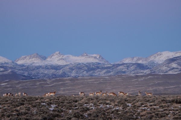
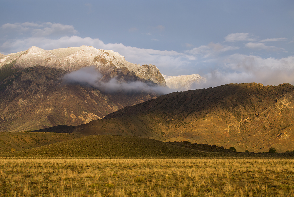
Photo by Kathy Lichtendahl
Last chance for the public to weigh in on the Bighorn Basin land-use plan
Federal plans for sage-grouse management also released on Thursday
CHEYENNE — The U.S. Department of the Interior announced the release on Thursday of a new long-term land-use plan for Wyoming’s Bighorn Basin, as well as a similar kind of plan for Wyoming’s Powder River Basin.
Sage-grouse management amendments for nine other Wyoming plans were also released simultaneously, in addition to sage-grouse management decisions for other western states.
The announcement of these plans, which was made by Interior Secretary Sally Jewell in Cheyenne on Thursday morning, kicks off the final 30 days for the public to weigh in on the Wyoming plans before they are published as “decision documents” later this summer.
Relative to the Bighorn Basin, a representative with the Wyoming Outdoor Council said there are important parts of the plan that can and should be improved before it is finalized. And she called on the public to weigh in to help make that happen.
“This 30-day period is crucial, from our perspective, especially when it comes to the plan for the Bighorn Basin,” said Julia Stuble, the Wyoming Outdoor Council’s public lands advocate. “There are significant differences between this plan and the previous draft, which the public last saw four years ago. We believe the public deserves a chance to review these plans and submit their perspectives on those changes.”
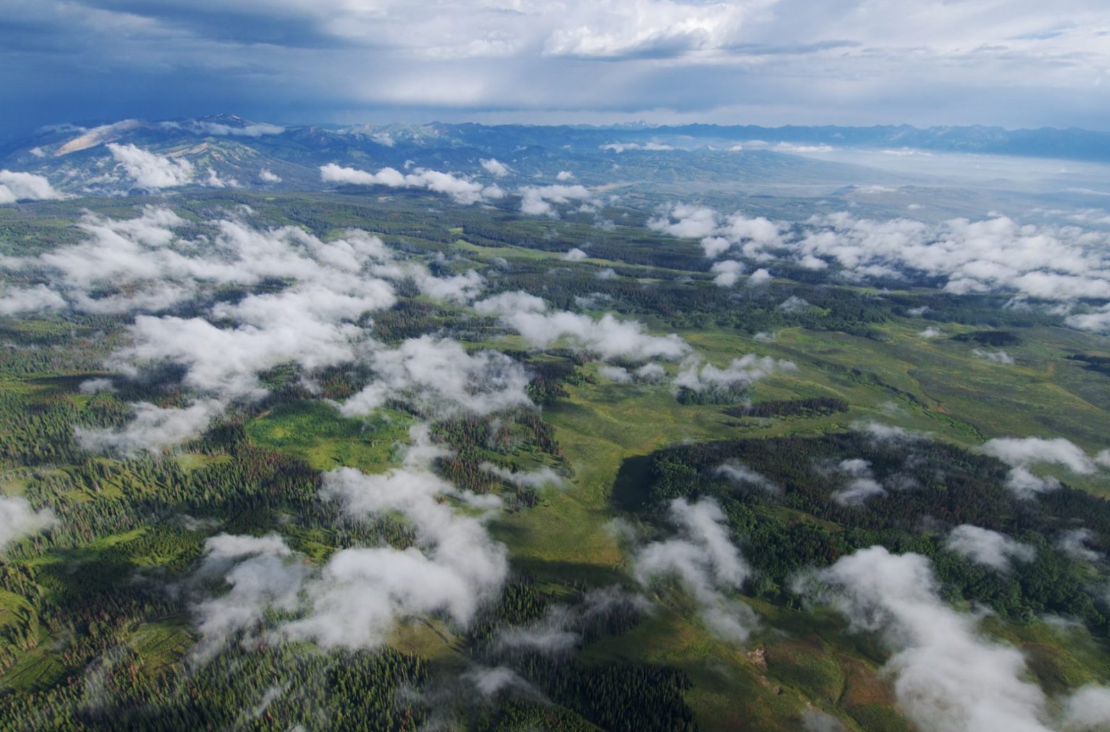
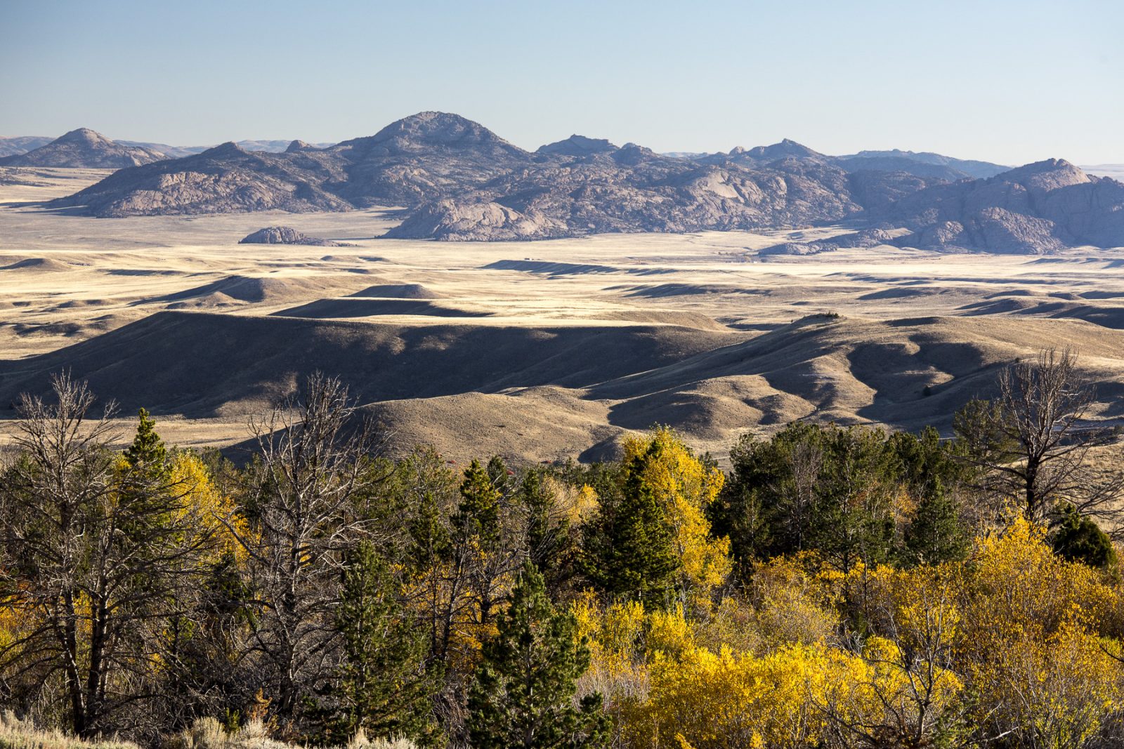
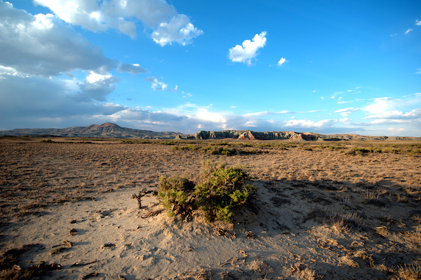
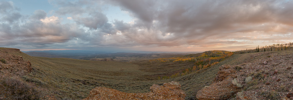
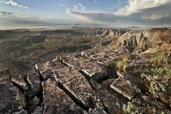
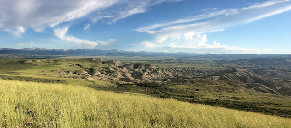
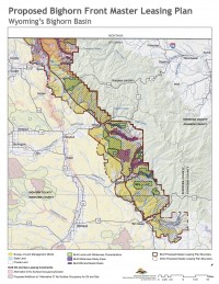
The Bighorn Basin is a vast landscape stretching between two mountain ranges. The BLM has recognized that the mountain fronts and desert interior of the Basin deserve focused analysis regarding oil and gas management, Stuble said, but there is still much room for improvement.
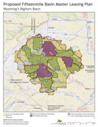
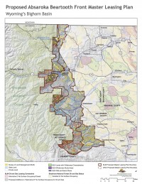
Three master leasing plans—a new, proactive, bigger-picture planning tool to “look before leasing”—were developed for the Absaroka-Beartooth Front, the Fifteenmile Basin, and the Bighorn Front, which is a good thing, Stuble said.
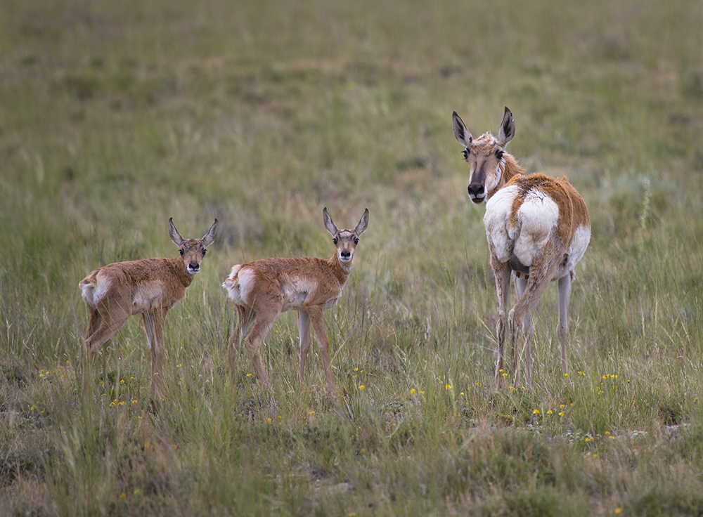
But she also said that hunters, anglers, birders, and other outdoors enthusiasts have not yet been heard when it comes to protecting some of the values of these important landscapes.
“These master leasing plans as written can be improved a great deal,” she said. “That will only happen if the people who love these landscapes weigh in one last time to help the BLM make those improvements.”
Master leasing plans have the potential to bring balance to the crucial wildlife habitats, viewsheds, and wild places in these landscapes, but as written they do not yet accomplish those big picture goals, Stuble said.
“They can and should be improved before the plan is made final,” Stuble said. “The only way that will happen is if the BLM hears from the public within the next 30 days.”
The Outdoor Council, working with a broad array of local interests, developed a vision for balanced leasing plans that would protect the values of these landscapes, Stuble said. This vision prioritizes protections for crucial big game winter range and wild lands and allows for oil and gas leasing outside these significant resources.
“I hope the BLM will hear from the public once again and create master plans that are more closely aligned with this vision,” Stuble said.
Between the last draft and the current plan, the agency has also rolled back protections from some 50,000 acres that, in the draft, were managed to protect their wilderness characteristics.
“Out of an inventory of 500,000 acres of wilderness-quality lands in the Bighorn Basin, the agency decided, in 2011, to only manage 10 percent in a manner to protect those characteristics. Now even that amount has been rolled back. We believe that all of these important wild lands inside the Absaroka-Beartooth Front, Fifteenmile Basin, and Bighorn Front—as well as crucial big game habitat—should be protected from oil and gas development.”
“Public involvement at this juncture is essential,” Stuble said. “This is really the last chance for the public to help the BLM get it right—so speak now or hold your peace for 20 years,”
“If you care about these lands and you have hopes or opinions about how you’d like to see them managed for future generations, we encourage you to go to the Wyoming Outdoor Council’s website for more information on how to weigh in,” Stuble said.
###