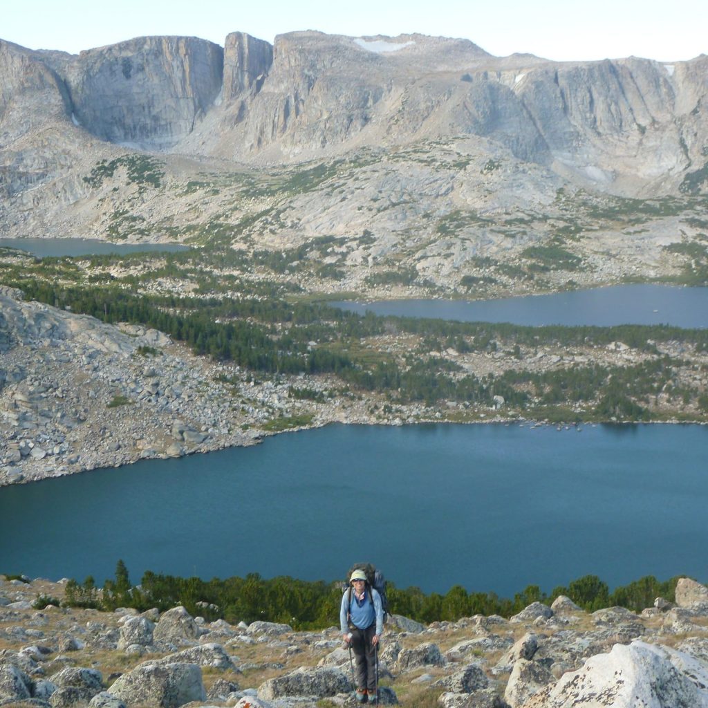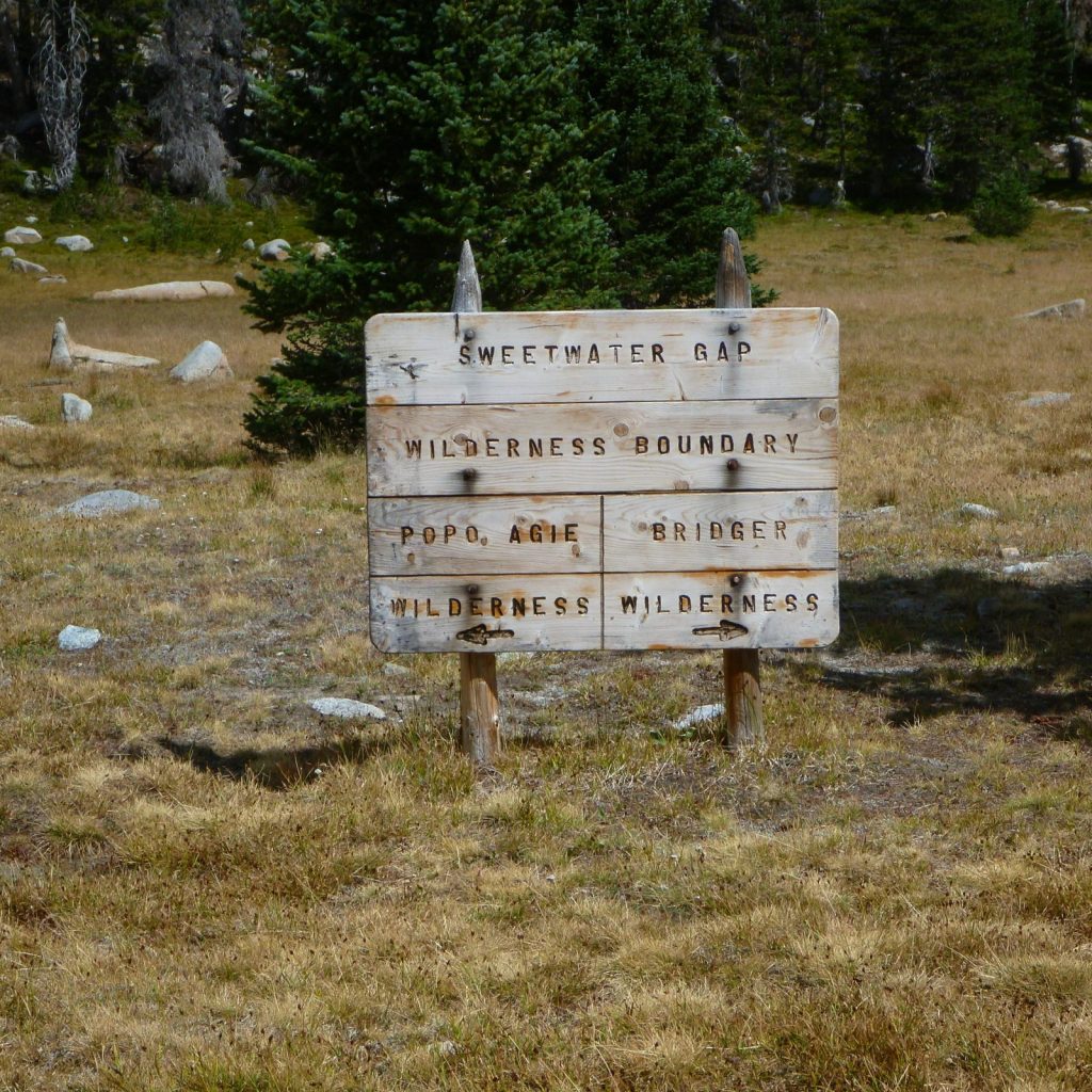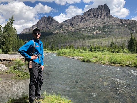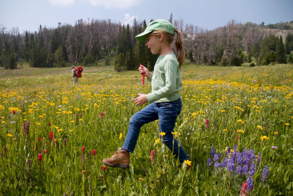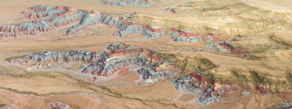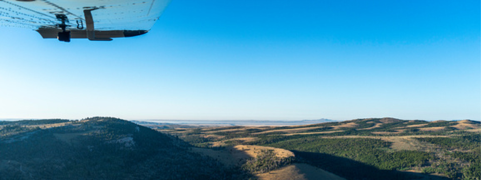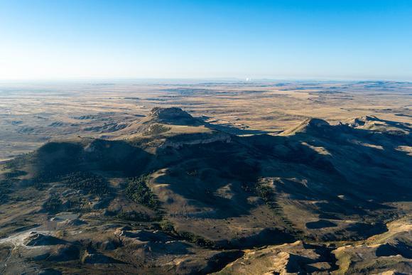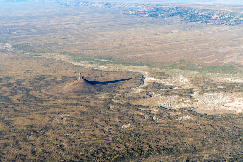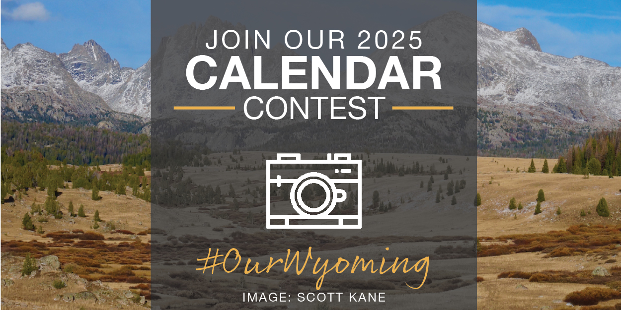
Now open: Submit your photos to our 2025 Calendar Contest!
Each year, the Wyoming Outdoor Council hosts a photography contest to celebrate our enduring theme, “Our Wyoming.” Winning photos will be printed in our 2025 calendar, and photographers who have their work selected will win a cash prize — and have the chance to display their photos in an exhibit.
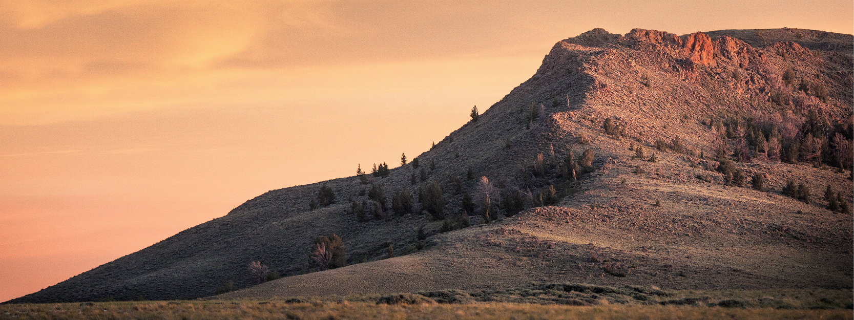
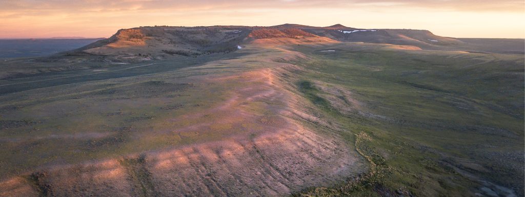
In the sparse forest beneath Wyoming’s windswept slopes, the whitebark pine ekes out a difficult, and amazing, existence. Gale-force winter winds blast the tree with snow and ice; summer heat steals away its moisture. Growing seasons are short, and especially near treeline, it grows no higher than a gnarled and stunted shrub.
Despite these challenges, the whitebark pine plays a critical role in mountain ecosystems. Its large, protein-rich seeds are a valuable food source for a range of animals, from grizzly bears to squirrels to Clark’s nutcrackers — and also are a traditional food source for Indigenous people.
But perhaps the tree’s most important attributes are its roots: fast-growing, sturdy, and clinging tightly to existence, these roots stabilize thin and rocky high-elevation soils, allowing entire communities of plants and animals to persist in a harsh environment. In a way, the whitebark pine’s roots are the foundation upon which many a beloved Wyoming landscape is built.
Encapsulating the importance of close relationships with the landscape and other living beings, the roots of the whitebark pine are a symbol of “Our Wyoming,” the calendar contest’s enduring theme.
At the Wyoming Outdoor Council, we’ve lately been considering what it means to be rooted — rooted in place, rooted in our mission, and, above all, rooted in community. Just a few short months ago, we moved our Lander headquarters from a dark and cramped office to a beautiful, energy efficient, and welcoming building. Rather than a place for our advocates to conduct their work in isolation, the vision for our new campus is a collaborative space where community members and local organizations feel welcome to gather. In this way, this transition was about more than simply moving from one spot to another. It was about digging in, and deepening our roots in our Wyoming community.
In this year’s contest, we invite you to help us strengthen the story of Our Wyoming by sharing photos that explore what it means to be “rooted.” What is the root of our care for Wyoming? How do strong roots sustain us, and allow us to grow? How might we send our roots deeper, building vital connections with Wyoming’s lands, wildlife, waters, and the people who depend on them?
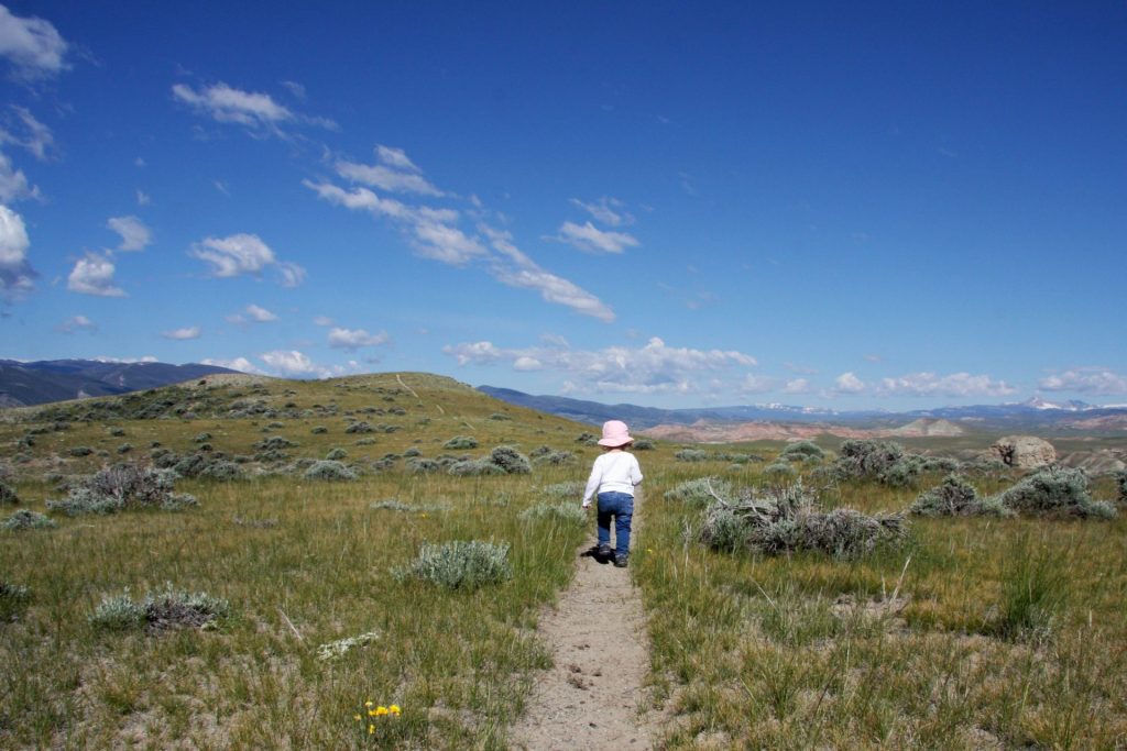
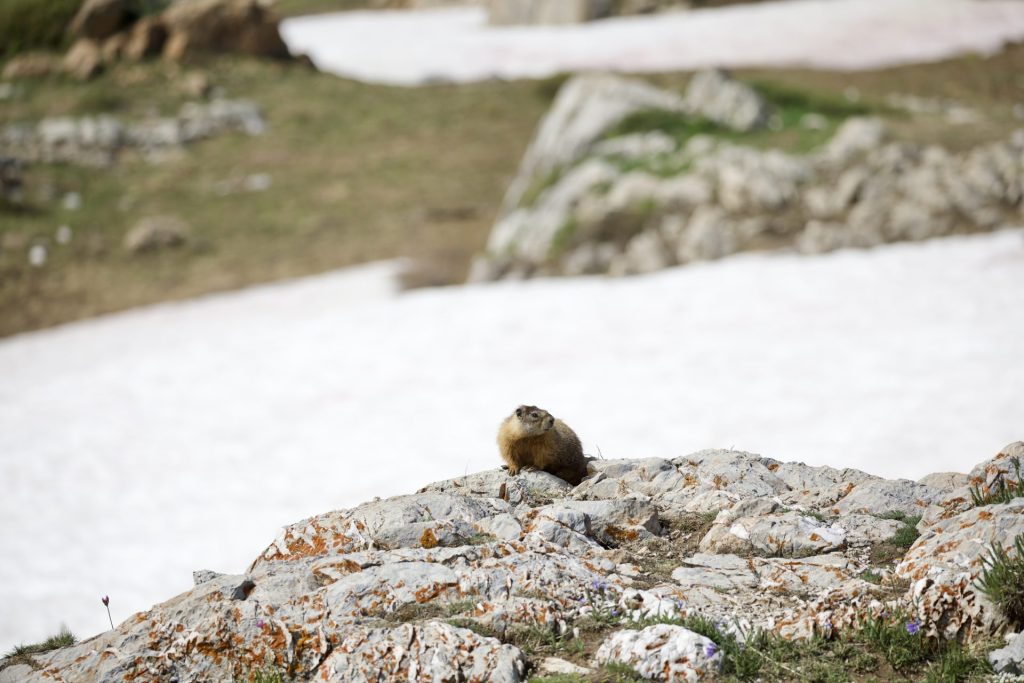
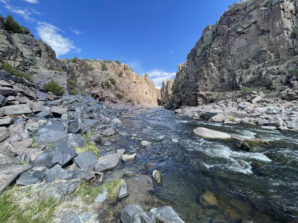
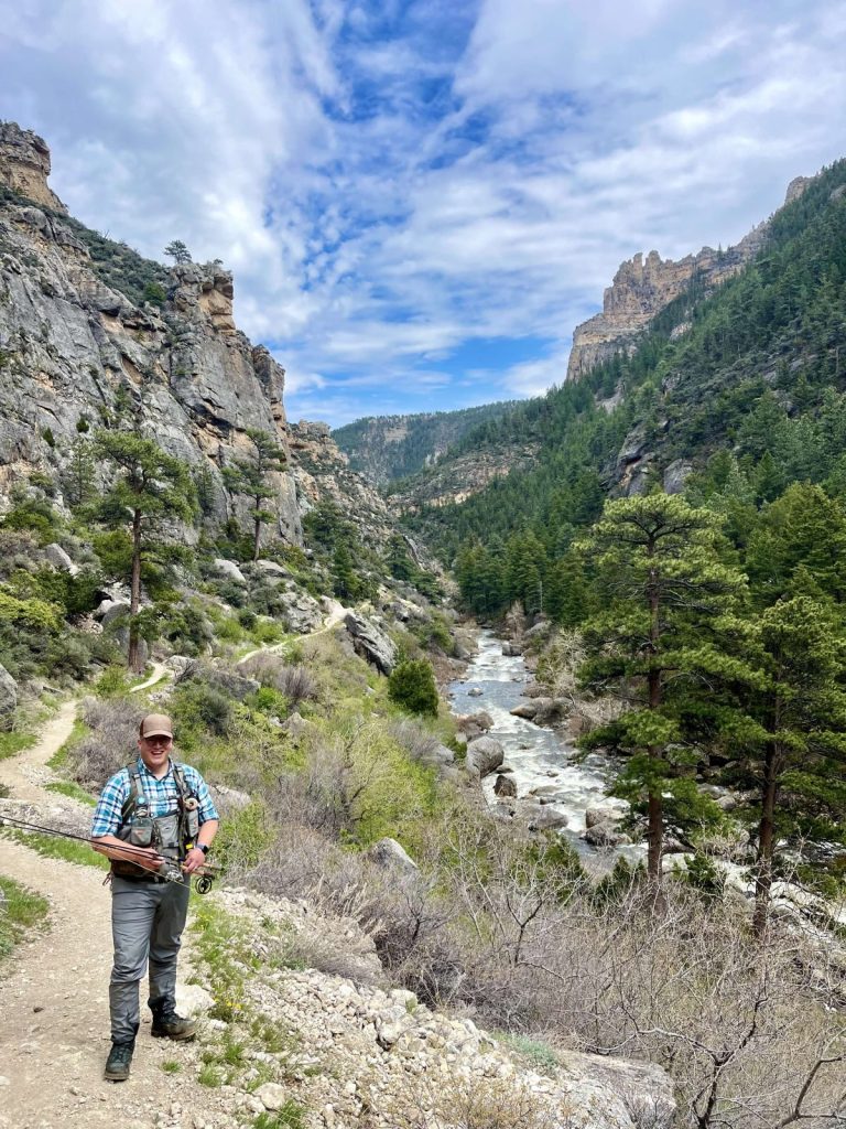
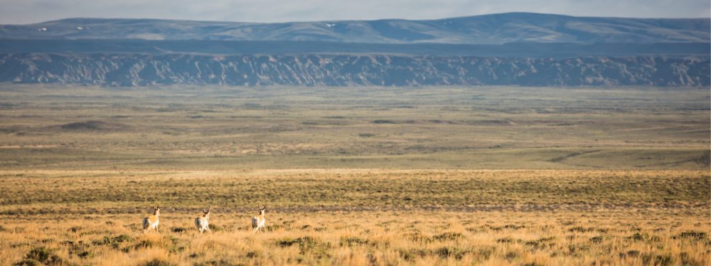
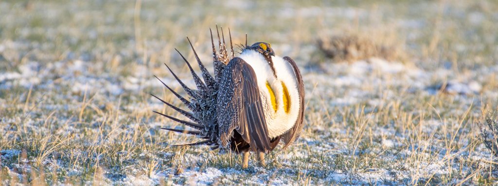
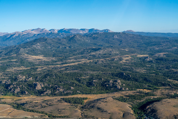
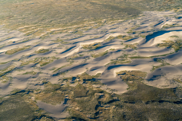
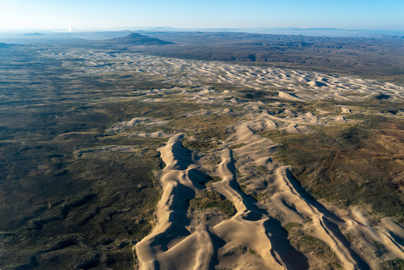
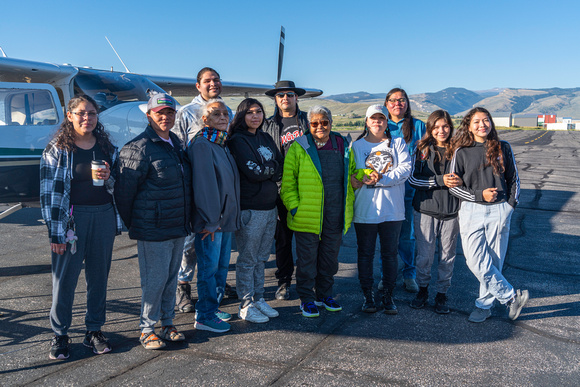
Whether your roots involve a landscape you hold dear, a connection to Wyoming’s free-roaming wildlife, the ancestors who have called this land home for millennia, the children who will carry our conservation legacy forward, or the communities we depend on to survive and thrive, we are excited to see your wonderful photo submissions! (While we love images of beautiful landscapes and wildlife, we’re also always seeking photos that show people enjoying all that Wyoming has to offer.)
This year’s contest is open from July 1, to September 3, 2024. You can submit your photos either via email (max@wyomingoutdoorcouncil.org) or Instagram, by using the hashtag #OurWyoming.
Photographers who have their work selected will win a modest cash prize. Additionally, we’re thrilled to bring back a special event that we kicked off with last year’s contest: an exhibit to display winning photos and honorable mentions! Stay tuned for an announcement about an exciting new exhibit host.
For more details, see the terms and conditions below. Good luck — we can’t wait to celebrate all the ways you’re rooted in Wyoming.
TERMS & CONDITIONS
Entries must be submitted between July 1, 2024, and before midnight on September 3, 2024, either via email (addressed to max@wyomingoutdoorcouncil.org with “2025 Calendar Contest” in the subject line) or Instagram, using the hashtag #OurWyoming. By entering, all contestants agree to release their photo to the Wyoming Outdoor Council for publication in our calendar and supporting social media. The Outdoor Council, along with a guest judge, will select the winning photos, which will be published in the 2025 calendar. Selected artists whose photos are included in the calendar, and honorable mentions, will receive a modest cash award. All photographers chosen to be in the calendar and honorable mentions will also have their work displayed in an exhibit at the White Mountain Library in Rock Springs. WOC will be responsible for the printing and display of work at no cost to artists. All submitted photos are subject to use both in the calendar and the exhibit; however, if you would not like to participate in the exhibit, please email max@wyomingoutdoorcouncil.org.
Your entry to the contest constitutes your agreement to allow your entered photographs, as well as your name and the place the photograph was taken, to be published in the Wyoming Outdoor Council’s 2025 calendar and on the Outdoor Council’s website, in emails, and social media channels to promote the annual photo contest. It also constitutes your agreement to allow your winning photograph to be displayed in the post-contest exhibit unless otherwise communicated. Reproduction of entries will include the necessary photographer credit. Contest entrants retain ownership and all other rights to future use of the photographs they enter. Use of the entered photos in any other fashion or in any other publications will only occur with permission from the entrant.