Over the past year, the Bureau of Land Management has been busy with a bevy of rules that, once finalized, will impact public lands across Wyoming and the West. (You might remember hearing from us about the Public Lands Rule, Methane Rule, and Oil and Gas Rule — and you may have even written comments on these proposed rules.) Now, it seems April is the month that all these efforts have begun to bear fruit: With near-weekly announcements of finalized rules, it’s certainly been a busy time for the agency. And, I’ll add, for anyone trying to keep up!
Fortunately, these new rules contain plenty of conservation victories worth celebrating. But we can’t blame you if keeping them straight has led to some serious head-scratching.
To add to the confusion, the publishing of these rules has happened alongside the comment periods for additional BLM land use plan revisions and proposed rules. (With any luck, we’ll have even more to celebrate when the Western Solar Plan, Rock Springs Resource Management Plan, and updates to the rangewide Greater sage-grouse plan are finalized.)
Whether you’ve been closely following the news, are just tuning in, or are one of the many WOC supporters who shared comments with the BLM, this quick guide will help you get a handle on the agency’s recent activity — and what each of these rules and plans means for Wyoming’s public lands and wildlife.
RECENTLY FINALIZED BLM RULES
PUBLIC LANDS RULE
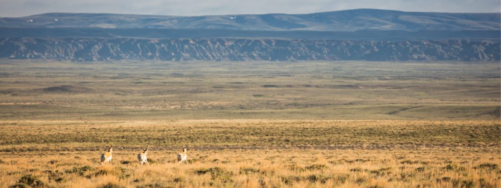
The Public Lands Rule adds conservation to the list of multiple uses allowed on public lands, placing it on equal footing with uses such as grazing, energy development, and recreation. It does not prevent oil and gas drilling, mining, or grazing on public lands — but it does enshrine protection and restoration as necessary components of responsible management. In doing so, our wildlife habitat, areas of cultural importance, water quality, and landscape intactness all stand to benefit.
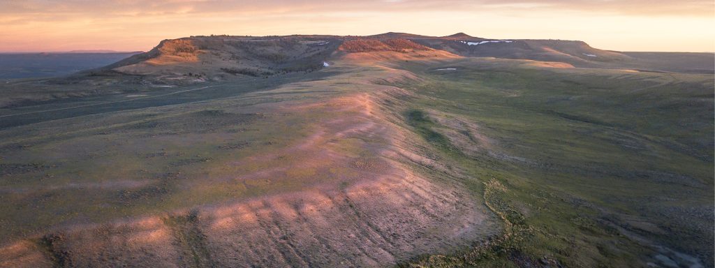
The BLM manages 18.4 million acres of land across Wyoming — nearly one-third of the state. While drought, wildfires, and decreasing land health threaten these lands, the Public Lands Rule provides a cohesive framework for implementing conservation measures to address these threats and slow negative impacts from climate change — while continuing to manage for the many uses of these lands that allow Wyoming communities to thrive.
OIL AND GAS RULE
The most significant update to oil and gas leasing on federal lands in decades, the Fluid Mineral Leases and Leasing Process Rule directs development away from lands with little to no potential for oil and gas — thereby allowing better management of places with important habitat, recreational values, and cultural resources. It also ensures that companies set aside more money to plug wells after drilling, which is significant considering that previously, required clean-up money would have covered the cost of fewer than one out of 100 wells. These common-sense reforms, that follow in the footsteps of state policy, are a win for the health of Wyoming landscapes and for Wyoming taxpayers, as increased oil and gas royalty rates will result in better returns for Wyomingites and fund vital public services.
METHANE RULE
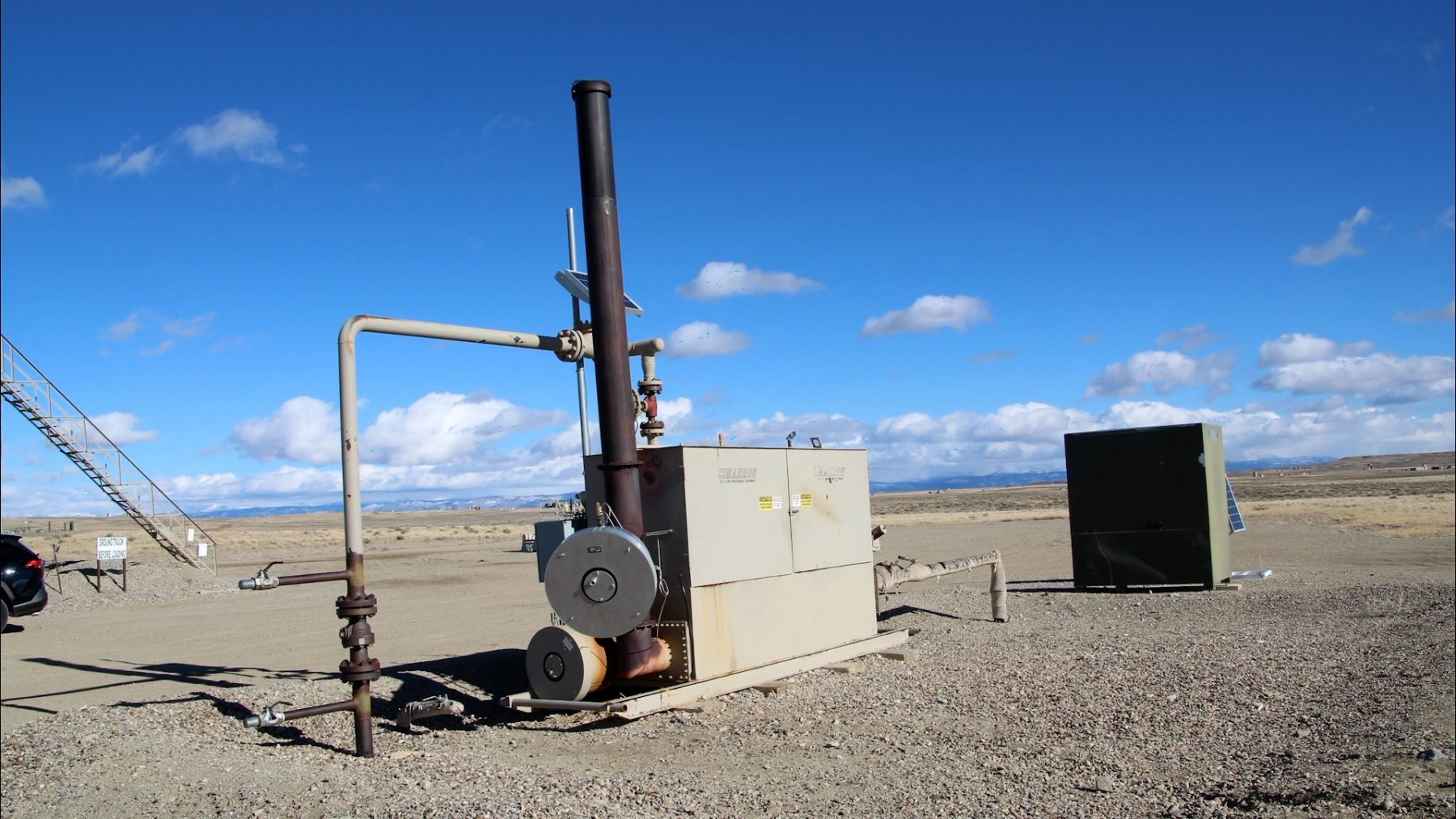
This rule aims to reduce emissions of methane, a potent greenhouse gas, from oil and gas operations on public lands. Also known as the Waste Prevention Rule, it updates regulations more than 40 years old by requiring oil and gas operators to take reasonable steps to prevent wasted methane during operations such as venting and flaring. The reduced emissions will benefit Wyoming’s air quality, and conserved methane will be available to power homes and industries. Through additional required royalty payments on natural gas emissions that could have been avoidable, the rule will also ensure Wyoming taxpayers are fairly compensated for natural gas that is unnecessarily wasted during production.
(Note: While similar in aim, this rule is separate from the Environmental Protection Agency’s final methane rule, which was published in December 2023. BLM’s rule curbs wasted methane on federal and Tribal lands and will go into effect this summer, while EPA’s sweeping rule curbs methane emissions on both public and private lands and will take several additional years before it is enforceable.)
RECENT BLM PLANS OF NOTE, YET TO BE FINALIZED
UPDATED WESTERN SOLAR PLAN
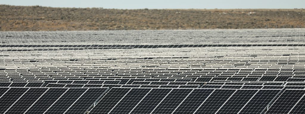
This region-wide plan (also known as the Solar Programmatic Environmental Impact Statement) will identify the best locations across 11 Western states for future utility-scale solar development on federal lands, along with areas that should be closed to solar. By proactively screening for wildlife, sensitive habitats, cultural resources, and other values and resources, it aims to reduce foreseeable land use conflicts. Our climate future depends on the addition of renewables to our energy portfolio — and the Western Solar Plan represents an opportunity to ensure solar doesn’t come at the cost of our iconic wildlife and other Wyoming values.
The Western Solar Plan is currently in draft form, and the period for comments on the plan concluded earlier this month. If you wrote to the BLM in favor of responsibly sited solar in Wyoming, thank you! Read WOC’s Western Solar Plan comments here.

Updated Greater Sage-Grouse Management Plan
Building off the BLM’s 2015 and 2019 plans for Greater sage-grouse, this plan enhances protections for this most-loved of Western birds — a prominent symbol of the threatened and ever-diminishing sagebrush biome. Drawing on ample new data and research, the update covers 77 resource management plans across 10 Western states, including Wyoming. Because the BLM manages the vast majority of Greater sage-grouse habitat on the continent, it is imperative that the agency takes bold action with this plan revision to shore up remaining, quality habitat and stave off further declines. As we dive deeper into the plan’s management alternatives, count on us to keep you informed and keep your eye out for opportunities to speak up for sage-grouse protections. Wyoming is the beating heart of the sagebrush biome and what happens here has outsize implications for the bird’s future, so your participation and local knowledge will be of added benefit to the agency. The plan is currently in draft form, with a public comment period ending June 13.
Rock Springs Resource Management Plan
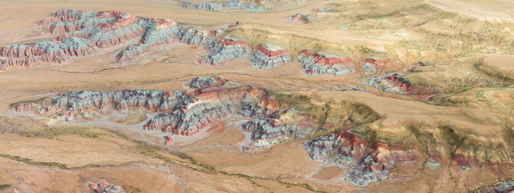
A plan nearly 12 years in waiting, the Rock Springs Resource Management Plan outlines how much of the northern Red Desert — including the Big Sandy Foothills, Adobe Town, and more — will be managed for the next 15–20 years. The draft plan favors conservation of the Red Desert’s extraordinary habitat, cultural resources, and wide-open spaces while protecting opportunities for recreation. In December, WOC represented conservation on a task force convened by the governor to form consensus recommendations for the BLM alongside livestock, oil and gas, sporting groups, and other interests. Much common ground was found as we defended the Red Desert’s key landscapes from potentially damaging proposals.
There’s a good chance you heard and answered our calls to advocate for the Red Desert’s treasures. The public comment period on the draft RMP ended in January, and we’re confident that your passionate advocacy will result in a strong final plan. Thank you for your many supportive comments.
THANK YOU
As time marches on, it’s essential that we continually revisit, refine, and revise the rules and plans guiding management of our public lands. The items listed above are the finalized and in-progress products of this important process. They represent the modernizing of old policies that often had the effect of undermining conservation interests. They are also significant strides towards more proactive management of our public lands.
Importantly, the true value of these rules and plans lies with the public input that helped to build them. They are valuable because people like you spoke up — people who care for, understand, recreate or work on, live near, and love these public lands. As these frameworks for management move from draft stage to final rule or plan, we can’t thank you enough for your support and advocacy. Wyoming’s public lands are better for it!
Have lingering questions about recent BLM rules and land use revisions? Send us an email or write a comment below.

